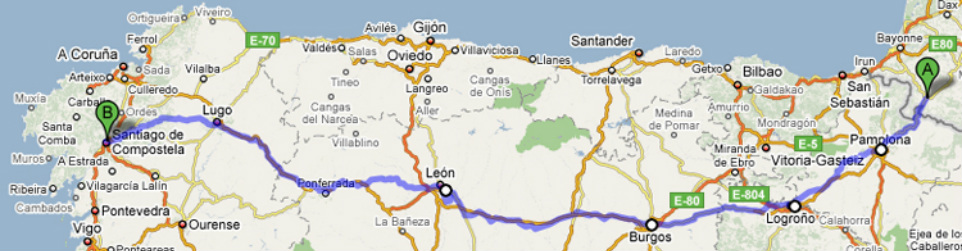
The maps above gets you (me in this case) to the destination: Santiago de Compostela. My husband followed my progress using the maps. The established distance from St Jean Pied-de-Port is about 800 kilometers or about 500 miles, or "One Hell of a Long Walk", says my husband.
I started at Point A (St. Jean Pied-de-Port France and finished the Camino at Point B (Santiago de Compostela). I then continued on bus from Point B to Finisterre which is due west of Point B, but unfortunately is not on this map.
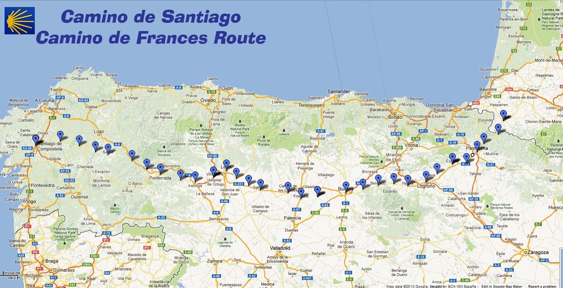
Here is a link to Wikipedia, including its history and modern-day pilgrimage. You may have to copy and paste this into your web browser. http://en.wikipedia.org/wiki/Way_of_St._James
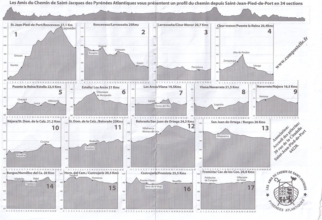
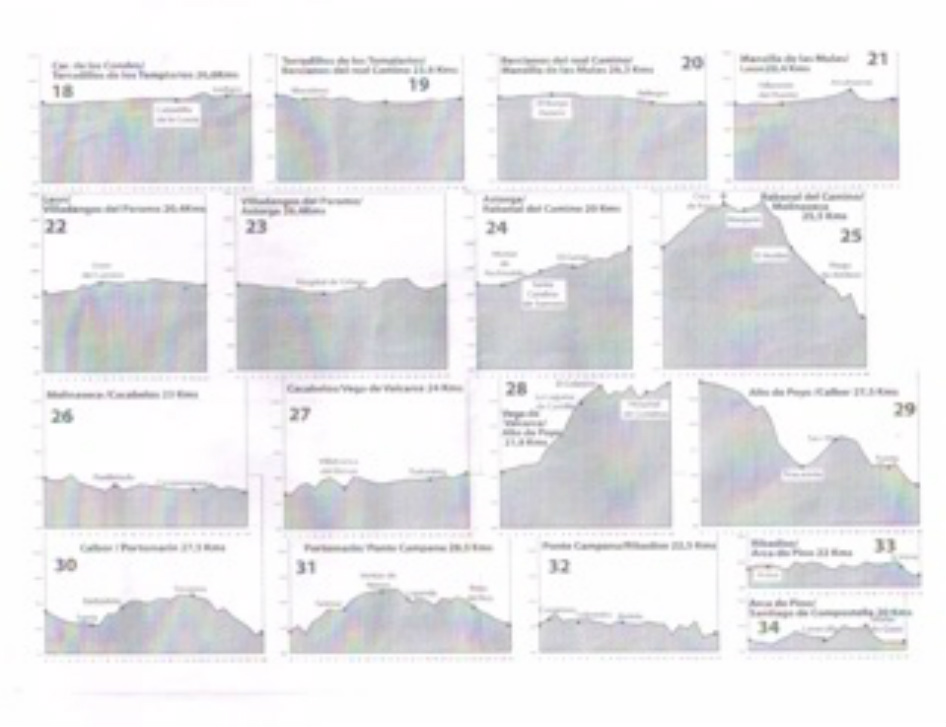
To give you a sense of the "up and down" elevation changes, below is a topographical map of the first half of the journey. Note the elevation change in Box 1 on the far top left. This is leaving the starting point in St Jean Pied-de-Port and beginning the climb over the Pyrenees. This was my single biggest struggle as I was in "survival mode" due to high winds as described in May 17 - Day 3. Although there was an even higher elevation that I had no difficulty with in the second half of the journey.
Here is a link to the web page that shows the elevation changes below: http://www.aucoeurduchemin.org/spip/IMG/pdf/profil_d_etape_imprim.pdf